

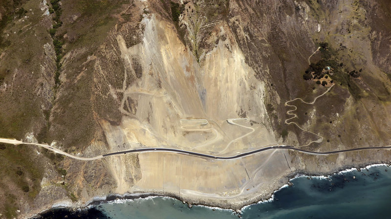
One of my favorite areas to visit in California is Big Sur, an area that stretches roughly from Carmel to San Simeon and inland into the sparsely populated Santa Lucia Range. It is accessible by famous Highway 1, which was completed in 1937 and is considered by many one of the most scenic drives in the US. In some places, the winding two-lane road is close to the water’s edge and offers easy access to parks and beaches; in others, it precariously hugs the coastal cliffs high above the sea, making it an exhilarating drive with sweeping vistas. When it is open, that is… During the El Niño storms of 1998, the road suffered considerable damage in many places and was closed for months. In 2008, the Basin Complex fire, which raged in Big Sur, forced a closure of the highway for several weeks. In 2011, more unfortunate news arrived from the California Department of Transportation: a 40-foot section of Highway 1 crumbled into the ocean just north of Big Sur after a period of strong rain. In 2017, after heavy rains, Pfeiffer bridge got damaged by a collapsing hillside. And just a few months later, the Mud Creek slide saw 5 million cubic yards of dirt and rocks sliding down the hillside in the largest recorded landslide along the Big Sur Coast, altering the coastline forever and leaving a long stretch of Big Sur and its communities inaccessible.
As I write this blog, the beautiful highway is open and ready for your discovery. One caveat though: there is no cellphone coverage along some stretches of Big Sur, and services are scarce. So whether you are just driving through, come for the art galleries or plan a longer camping or cabin trip, some old-fashioned preparation ahead is recommended.
In that context, please note that this article does not claim to be “the complete guide to Big Sur”, it rather intends to give those who have never traveled there a first taste of “the big south”. There is more to see than I can cover on these pages and Big Sur literature in print or online is better suited to help you prepare your visit in depth.
Tip: The California State Park website (www.parks.ca.gov) is a good starting point for your trip preparations. Choosing “Central Coast” as a region brings up a linked map from which information for every park shown can easily be accessed. Lots of useful information can also be found on the website of the Big Sur Chamber of Commerce (www.bigsurcalifornia.org).
Point Lobos
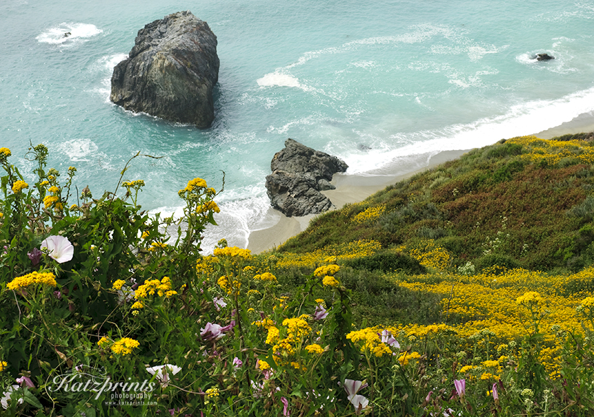
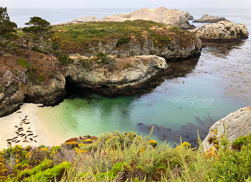
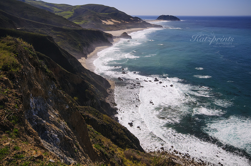
I like to start my Big Sur trip with a visit to Point Lobos State Natural Reserve just south of Carmel-by-the-Sea. This beautiful area of forests, headlands, and coves offers much to see and photograph: mossy trees, bizarre erosion-shaped rock formations, green and turquoise waters, tidepools, and abundant wildlife. The incredible underwater habitats offshore make it a great diving area. And during migration, one can see the spouts of whales passing by in the distance. No wonder then that artist Francis McComa called Point Lobos the “greatest meeting of land and water in the world”.
You can easily spend hours here and never make it to Big Sur (ask me how I know…)!
Tip: Point Lobos tends to get crowded late morning. The best time to go is early in the day before the crowds arrive, later in the afternoon, or during the week. People used to park their cars along both sides of the highway to visit but parking is now more regulated than it used to be.
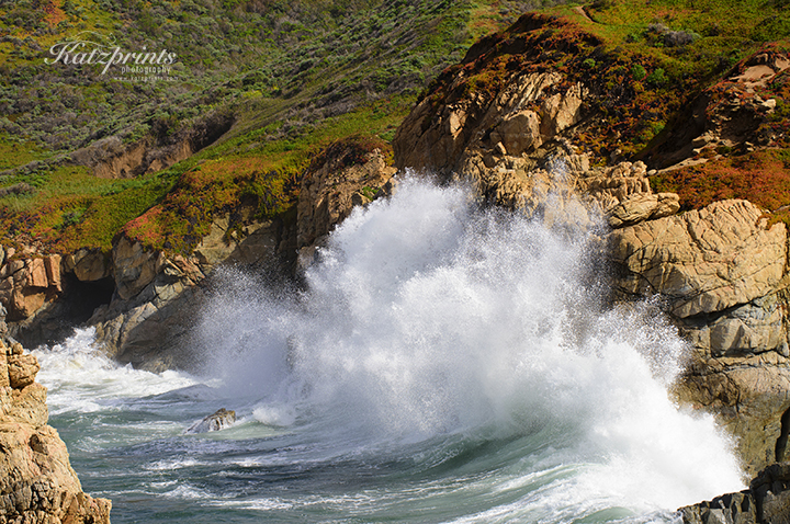
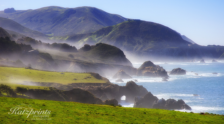
Leaving Point Lobos traveling southwards, I often find myself in a state of awe as I reflect on the beauty of the coastline, the engineering efforts that went into building this incredible road and its historic bridges, and the ever-changing weather that can spoil you with sun and mild temperatures in one moment and surprise you with thick fog or strong wind in the next.
Garrapata
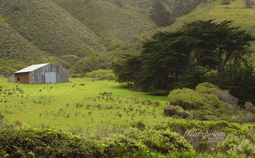
A great place to take in the diversity of the landscape and feel the different micro-climates of the jagged Big Sur topography is the little-developed Garrapata State Park. It offers some coastal hikes as well as lesser known trails inland.
During a recent visit, we experienced temperature differences of about 25 degrees between the coastal trails and the more protected trails inland. Soberanes Canyon Trail is an interesting and relatively easy walk which follows Soberanes Creek and gives a taste of the biodiversity present in the inland pockets of this area (from heat-loving cacti to the magnificent Sequoia sempervirens, our fog-depending coastal redwood trees). In springtime, the sound of the burbling creek under blooming willow trees is a refreshing companion during the walk. The canyon trail can be connected with Rocky Ridge Trail to form a more strenuous loop through the park.
Tip: From spring to early summer, the coastline is covered with picturesque wildflowers. Later in the year, poison oak becomes a prominent feature along the coastal trails and long pants are advised.
A nice beach to hang out or see Calla lilies in the wild (do not pick) is Garrapata State Beach a bit further down the road.
Rocky Point
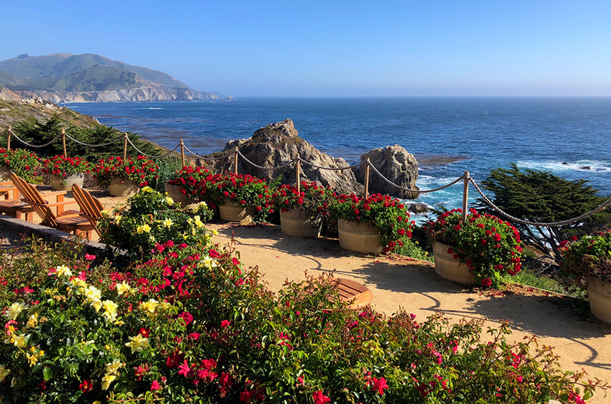
Need a little break from driving? A few miles south of Garrapata is Rocky Point Restaurant. This is one of the great places to enjoy a latte or wine with stunning views.
Bixby Bridge
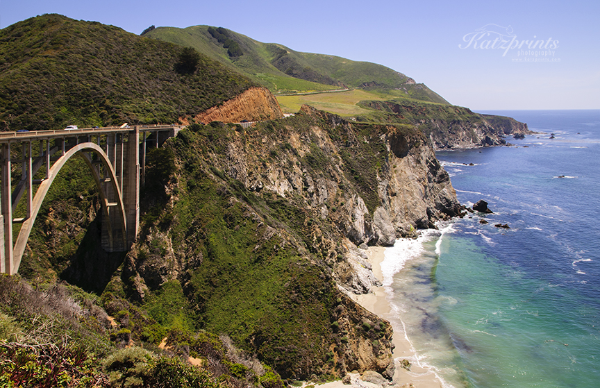
Our next stop traveling south on Highway 1, across Rocky Creek Bridge and past the glimpse of a natural bridge, is the photogenic Bixby Bridge which dates back to 1932.
A pullout before the bridge lets you get up close and personal with the concrete arch construction. If the parking is is overrun by tourists, which these days happens all too often, continue to drive to Hurricane Point just up the hill for a sweeping view featuring coastline and bridge.
Tip: Alternatively, if you have the time, a 4-wheel drive vehicle or a regular vehicle with high clearance, and are in the mood for some adventure, travel up the Old Coast Road, the north end of which is located across from the pullout. This 10-mile rough one-lane dirt road travels inland, bypassing the mouths of the creeks and rivers that are now bridged by the highway. Those who brave it are rewarded with sweeping vistas, rolling hills, and dark redwood groves. Do not attempt this drive in wet conditions!
Point Sur
Continuing our drive, the next striking feature is a dramatic volcanic rock offshore on top of which sits the Point Sur Lighthouse, now a historic park.
Point Sur is currently inaccessible due to bridge repair but tours are scheduled to resume in fall. More info can be found on the Point Sur website.
Some miles further, the road enters a real outdoor paradise: an area brimming with state parks that offer something for everyone.
We will visit this stretch of the road in my next post.